
Water & river basins
Examine rainfall, drought, climate variability and future change in the geographic context of catchments and water systems.
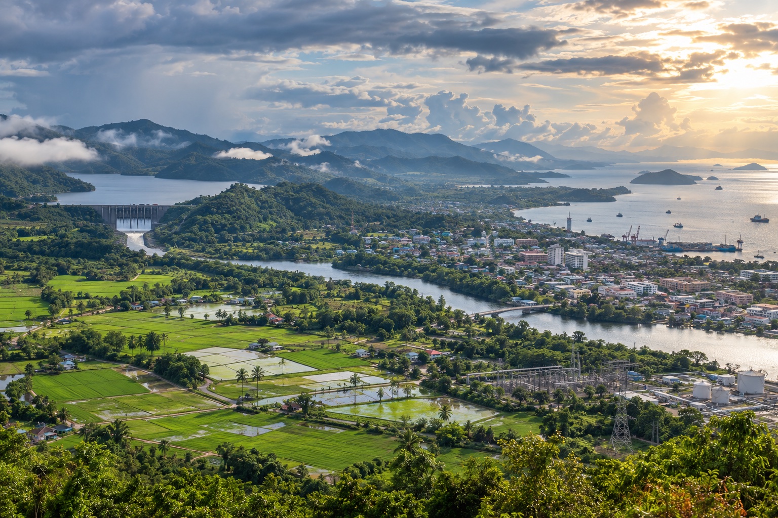
CLDB helps TMD connect climate evidence with the needs of water, agriculture, infrastructure, health, energy and resilience planning.
CLDB provides a common starting point. Sector knowledge and local context remain essential when interpreting and applying the information.
Examine rainfall, drought, climate variability and future change in the geographic context of catchments and water systems.
Understand seasonal conditions, heat and rainfall patterns that can shape crop calendars, water demand and climate risk.
Use extremes, trends and projections to support climate-aware planning, design conversations and resilience assessment.
Explore heat, rainfall and seasonal climate conditions that may influence health preparedness and public communication.
Put temperature, rainfall, wind and seasonal outlooks into context for demand, operations and climate-sensitive assets.
Combine historical extremes, current monitoring and outlook information to strengthen preparedness discussions.
Begin with the decision and the time horizon. A near-term operational question may need recent observations or S2S guidance; a strategic planning question may require historical trends and CMIP6 projections.
CLDB helps users find the relevant climate layer and geographic scale, compare evidence and communicate what the information does—and does not—say.
Define the sector decision, place and timescale.
Choose the observation, prediction or projection.
Review the signal, context and uncertainty.
Combine climate evidence with sector expertise.
Explore by place and timescale